Thermal strength forecast
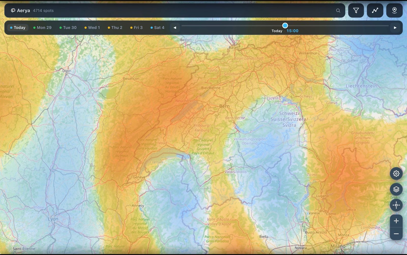
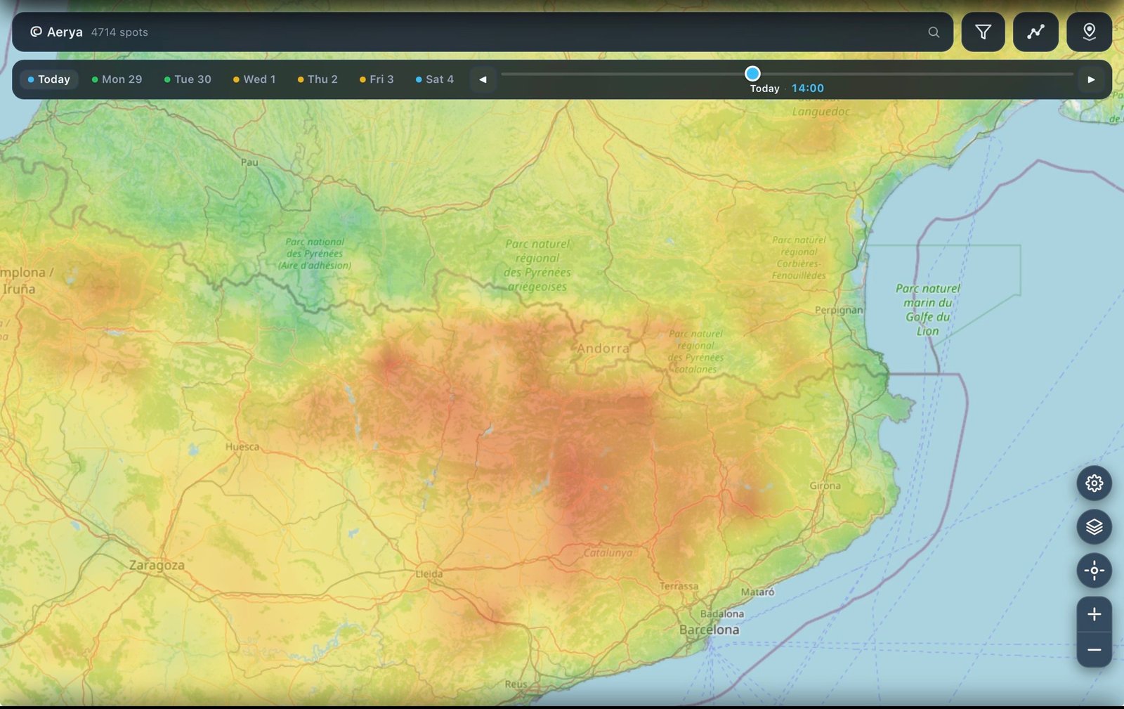
Hourly thermal strength across Europe at 1.3 km resolution, driven by AROME. Colour-coded so you can read at a glance whether the day is on or off.
Wind, thermals, convergence and soundings on one map, at 1.3 km resolution where AROME reaches. When the model shows nothing workable, the app says so instead of guessing.
The problem
Most pilots stitch together several apps and a sounding tool before every flight. Each shows one slice of the day. None of them put wind, thermals and convergence on the same map at the same hour, for the exact spur you're eyeing.
What Aerya does
A thermal forecast, the models behind it, and a clear answer when there's no data. That's the whole app.
Hourly thermal strength across Europe at 1.3 km resolution, driven by AROME. Colour-coded so you can read at a glance whether the day is on or off.
AROME (1.3 km) is primary. ICON-D2 covers the German Alps. Open-Meteo fills in everywhere else. When a source is down, you see which one you're getting.
Calm air and missing data look identical on most weather maps. Aerya labels both: a "no thermals expected" state and a source badge when you're seeing Open-Meteo instead of AROME.
Who's behind it
Aerya sits on public weather and terrain data — AROME, ICON-D2, Open-Meteo, SRTM, ESA WorldCover. It doesn't invent anything the models don't say; it puts what they do say on one map, with the source labelled.
See it move
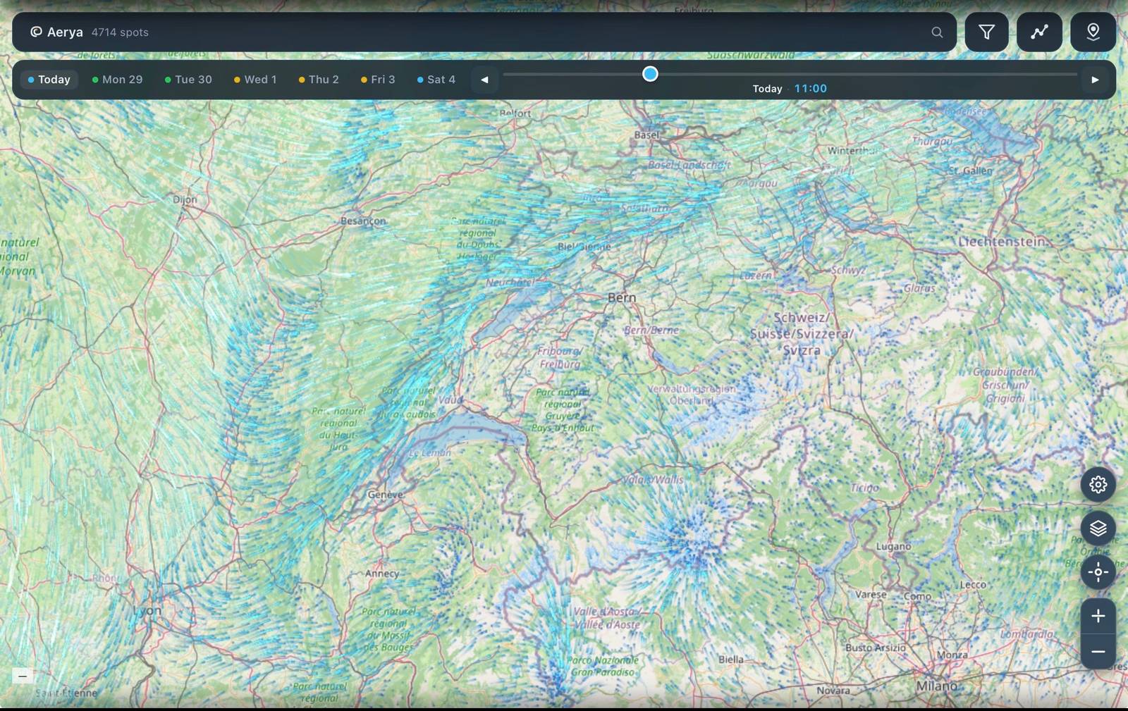
Wind field, convergence and thermal strength — each driven by high-resolution NWP and blended with 90 m terrain. Tap a layer to switch. Real screenshots from the app.
We're finishing the Android build. Drop your email and we'll ping you the moment it lands on the Play Store.
Already on iPhone? Get it on iPhone →